


revel tourdan

begnez
User
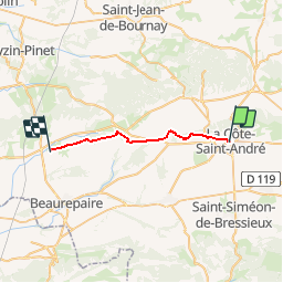

Length
21 km

Max alt
490 m

Uphill gradient
326 m
Km-Effort
25 km

Min alt
351 m

Downhill gradient
295 m
Boucle
No
Creation date :
2019-09-30 06:25:00.404
Updated on :
2019-09-30 13:53:35.354
6h25
Difficulty : Easy

FREE GPS app for hiking
 SityTrail
IGN / Geographical institutes
SityTrail Plus
The world is yours!
About
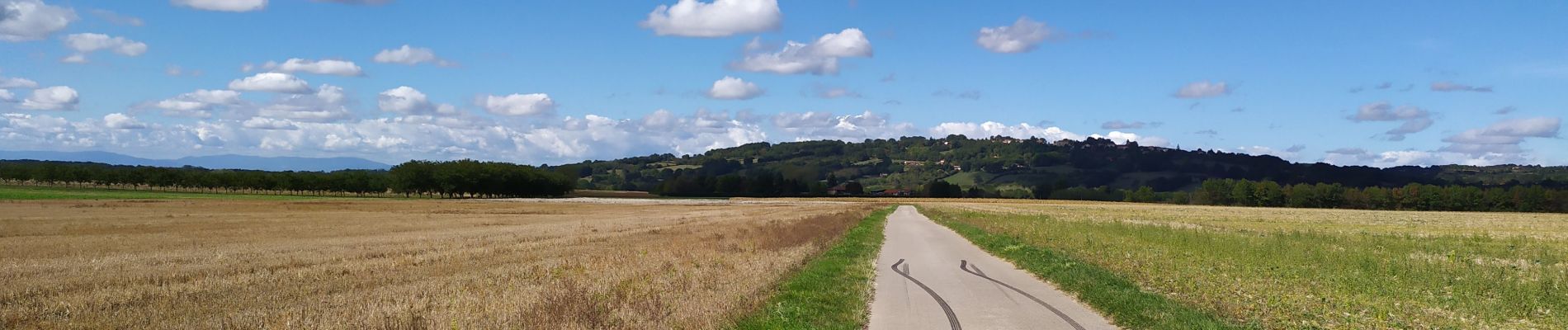
Trail Walking of 21 km to be discovered at Auvergne-Rhône-Alpes, Isère, La Côte-Saint-André. This trail is proposed by begnez.
Photos


Positioning
Country:
France
Region :
Auvergne-Rhône-Alpes
Department/Province :
Isère
Municipality :
La Côte-Saint-André
Location:
Unknown
Start:(Dec)
Start:(UTM)
676721 ; 5029069 (31T) N.
Comments